This has been a below average snow year on the Olympic Peninsula. Pineapple Express storms, one after another have dropped a record amount of warm rain on the Olympic Mountains; well as most of the pacific northwest and west coast.
The warm weather trend have made people scream 'global warming', but if you look back through the weather data over the last few decades, it's not that uncommon for Washington State to receive low snow fall amounts in the mountains.
Sometimes in need of weekly exercise and mental mountain therapy, I packed my backpack and jumped on a bus to spend the night in the mountains. Camping just above tree line on National Forest land with my camera, would give me a good vantage point of the Park interior.
Best of my knowledge by viewing the south facing slopes. The average solid snowpack in spring, is around 7,000' elevation in most of the interior of the Park. The Low Divide and Anderson Pass trails are accessible without snow travel aid. There is 10" or less that fell late April, around 3,500" in the interior; which has already melted and mostly gone. Some south and east facing slopes are dry up to 6,000'; in some mountain ranges.
Always check current conditions and forecast online before leaving on any trip inside the backcountry.
Note: Weather in the Pacific Northwest can be very dynamic. Snow is forecasted in late April above 3,500' Always check current conditions and weather forecast before departing on any backpacking trip. Winter is not over in the Olympic Mountains! You can always get a general idea by viewing the Hurricane Ridge Webcam. Photos were taken on February 11th, 22nd, April 17th and June 8th 2015.
Last updated in 2025 by Barefoot Jake
The warm weather trend have made people scream 'global warming', but if you look back through the weather data over the last few decades, it's not that uncommon for Washington State to receive low snow fall amounts in the mountains.
Sometimes in need of weekly exercise and mental mountain therapy, I packed my backpack and jumped on a bus to spend the night in the mountains. Camping just above tree line on National Forest land with my camera, would give me a good vantage point of the Park interior.
 |
| Mount Meany under low snowpack |
 |
| Mount Olympus - Kimta basin also featured snow free, on the Skyline Trail route. |
 |
| East Fork Quinault drainage - featuring Anderson Pass |
Update: Photography from a Hike at the End of February 2015
 |
| Del Monte Ridge from Anderson Pass |
 |
| Winter at Anderson Glacier in February 2015 |
Update: Southern Olympics from the South in April 17th
 |
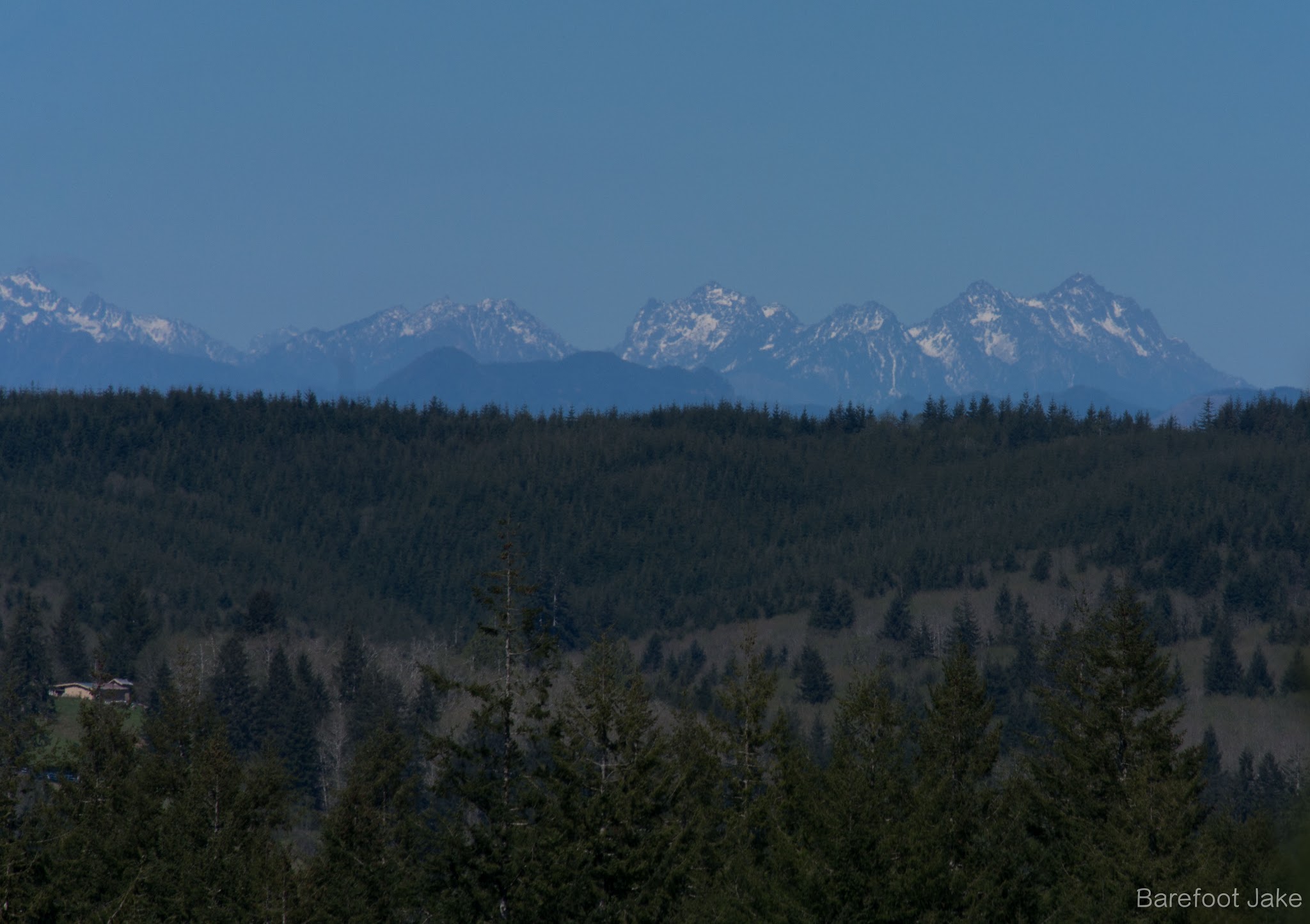
| Looking at the southern central Olympics |
 |
| Towards Mount Washington and Ellinor |
Update: Southeast Olympics on June 1st
 |
| Mount Meany again in June |
 |
| Muncaster Mountain in June |
 |
| Anderson Pass with no snow |
Update: Olympic Mountain Interior on June 5th
 |
| Cameron Pass, underneath Mount Anderson |
 |
| Mount Ferry and Scott, underneath Mount Olympus |
 |
| Stephen Peak and Basin |
Best of my knowledge by viewing the south facing slopes. The average solid snowpack in spring, is around 7,000' elevation in most of the interior of the Park. The Low Divide and Anderson Pass trails are accessible without snow travel aid. There is 10" or less that fell late April, around 3,500" in the interior; which has already melted and mostly gone. Some south and east facing slopes are dry up to 6,000'; in some mountain ranges.
Always check current conditions and forecast online before leaving on any trip inside the backcountry.
Note: Weather in the Pacific Northwest can be very dynamic. Snow is forecasted in late April above 3,500' Always check current conditions and weather forecast before departing on any backpacking trip. Winter is not over in the Olympic Mountains! You can always get a general idea by viewing the Hurricane Ridge Webcam. Photos were taken on February 11th, 22nd, April 17th and June 8th 2015.
Last updated in 2025 by Barefoot Jake