The Mount Olsen Loop should not be attempted even by a intermediate hikers. Route in Olympic National Park consist of steep and brushy terrain. One must be very patient because of all the brush in sections, a masochistic personality is a plus. Map and compass are necessary to complete this journey. A hiker might even consider a GPS to save themselves effort and peace of mind.
The conditions could be hazardous to your health. All the stars must be aligned to complete this hike, because of multiple river fords. To save yourself effort, waiting until late summer or autumn, this gives the steep slopes a chance to be snow free.
All these things were in order for our party of three to begin the journey in the Quinault drainage. The fact is that we didn't even plan on doing this route, until a few hours before departure to the trailhead. Our original itinerary called for use doing another off trail adventure all together. You see, I've wanted to do this loop for several years and all the stars were aligned, so I noticed us to go for it. The other parties involved are both experienced hikers, so I felt comfortable making the switch. Little did they know what exactly they were getting themselves into, but we were all sure to soon find out.
Hint: This path was listed on maps in the 1950's, but has long been forgotten.
Overall this was a great trip into the Olympic Mountains. When you hike most of the maintained trails in the Park, its nice to find solitude and get away from all other backpackers that clog popular hiking areas in the summer months. This trip did that and more. I was not going to publish the name of this route, so that its integrity is maintained, but the amount of brush and steep terrain that a hiker must deal with; should keep the masses out of this area.
Article by Barefoot Jake - updated in 2025
The conditions could be hazardous to your health. All the stars must be aligned to complete this hike, because of multiple river fords. To save yourself effort, waiting until late summer or autumn, this gives the steep slopes a chance to be snow free.
All these things were in order for our party of three to begin the journey in the Quinault drainage. The fact is that we didn't even plan on doing this route, until a few hours before departure to the trailhead. Our original itinerary called for use doing another off trail adventure all together. You see, I've wanted to do this loop for several years and all the stars were aligned, so I noticed us to go for it. The other parties involved are both experienced hikers, so I felt comfortable making the switch. Little did they know what exactly they were getting themselves into, but we were all sure to soon find out.
Hint: This path was listed on maps in the 1950's, but has long been forgotten.
 |
| Making our way across our first ford, during a record drought year |
 |
| Evening above our first camp |
 |
| View from our lunch spot during day 2 |
 |
| Group of hikers |
 |
| A storm moved in right after our lunch break. This made for challenging off trail travel in the Olympic Mountain high country. We ended up hunkering down for the night, because of white out conditions. |
 |
| The next morning the storm lifted. This gave us a chance to dry our gear out in the sun, that had gotten soaked from the passing storm. |
 |
| We reached our next landmark around lunch time. We were glad to have found elk trails to the lake, after traversing some steep terrain the day before. |
 |
| Signs of a recent wildfire (already reported) |
 |
| A song to wilderness (more to this story) |
 |
| Views of Mount Anderson and the Burke Range in the distance |
 |
| Remembering the Oneal Peak incident, with views of Mount Duckabush, protecting La Crosse Basin |
 |
| June 10th Peak, with Mount Delabarre behind |
 |
| Active wildfire number two (already reported) |
 |
| Descending into the Quinault Rain Forest |
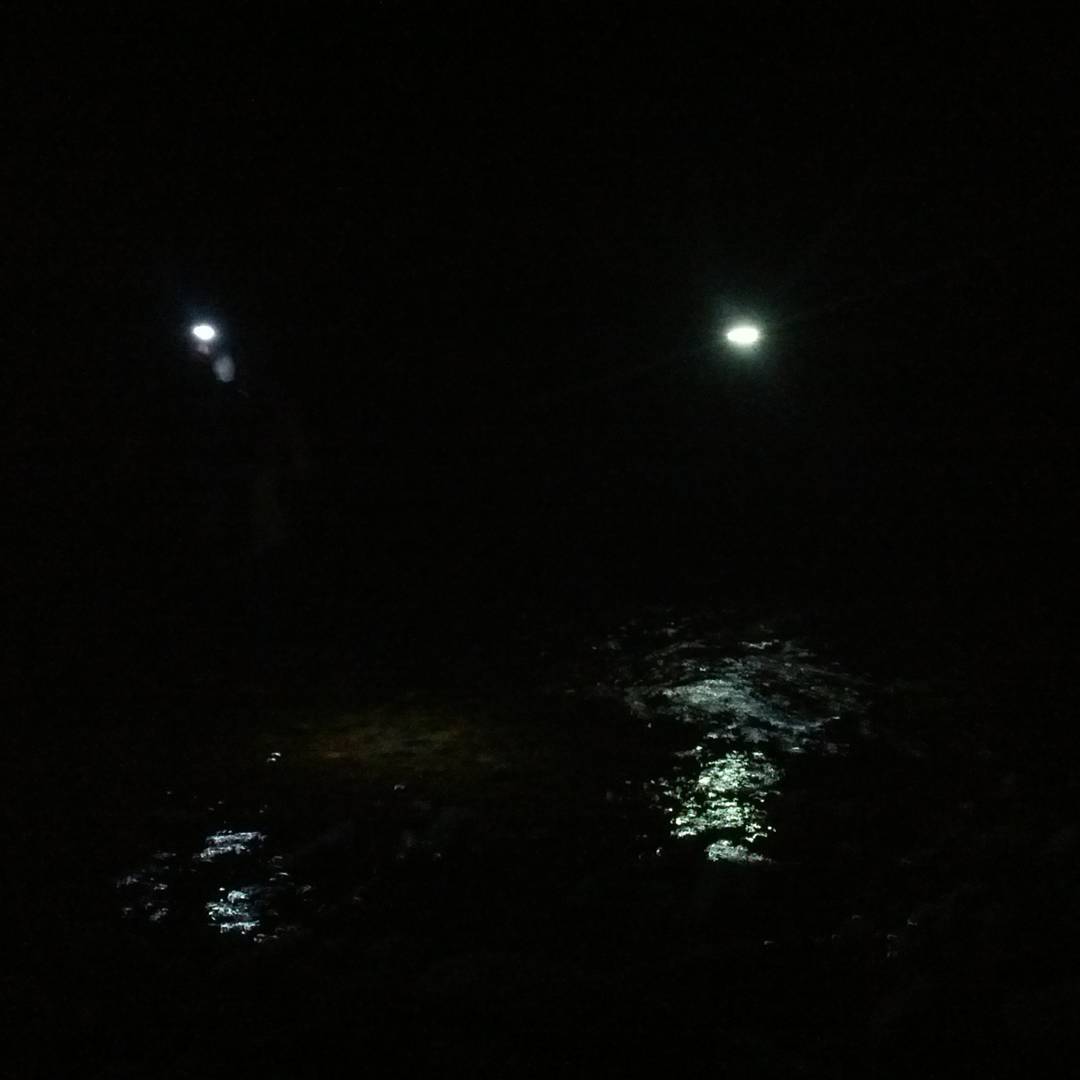 |
| Crossing the Quinault river at night. A late camp was made and then the walk back to the trailhead the next afternoon. This completed our loop hike. |
Overall this was a great trip into the Olympic Mountains. When you hike most of the maintained trails in the Park, its nice to find solitude and get away from all other backpackers that clog popular hiking areas in the summer months. This trip did that and more. I was not going to publish the name of this route, so that its integrity is maintained, but the amount of brush and steep terrain that a hiker must deal with; should keep the masses out of this area.
Article by Barefoot Jake - updated in 2025